North American Environment on the Map
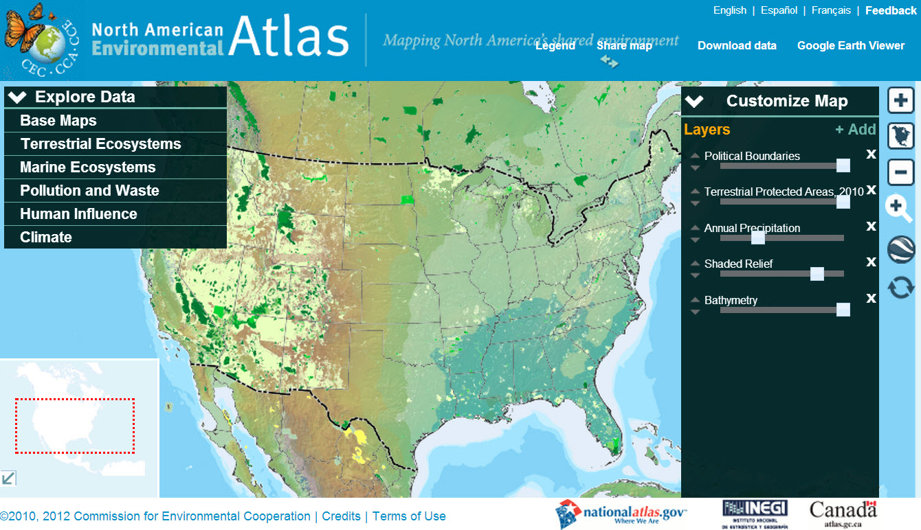 A nice site for easily and intuitively viewing environmental data, perhaps aimed mostly at children, but with a nice feature for integrating with Google Earth, and for downloading the data. (The US and Canada are still far ahead in making it all free!) The site was created by another interesting organization, Greeninfo Network. Among other US and California-oriented projects, they have a nicely-designed online crowdsourcing tool, MapCollaborator.