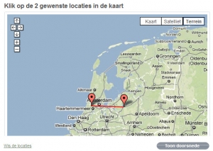
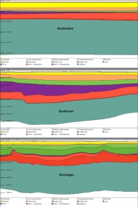
 Heard about this at last fall’s ESRI Nederland conference, and finally found it on the web. A link on the Geology of the Netherlands website (mentioned in last post) goes to this sweet Google Maps interface, “Dwarsdoorsneden“. Put two points on the map of the Netherlands and click below to draw a cross section of the geological layers, the strata, formed over millions of years. (This no longer works.)
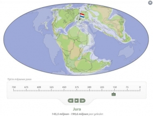
 The giant Dutch research organization, TNO, and the National Museum of Natural History (Naturalis) collaborated on this application. The website also provides detailed information about all those ancient periods, including the creatures who roamed the Dutch landscape. I’ll never work again. Too much fun.
Update 3/9/2018: What a pity that the “dwarsdoorsneden” map no longer works! The rest of the website is still fascinating
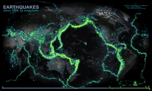
 The website Our Amazing Planet, pointed out a beautiful map depicting earthquakes since 1989 around the world, using intensities of color to indicated the frequency. The map’s creator is John Nelson of Michigan-based IDV Solutions, a data visualization company which provides products and solutions including Visual Fusion.


