Tracking Apps

Traveling a lot these days, and hiking and biking. There must be a way to keep track of my travels, organize and georeference photos and video’s, take notes, maybe even record comments as I move around. So, I am looking at iPhone and android tracking apps. Here’s my starter list:

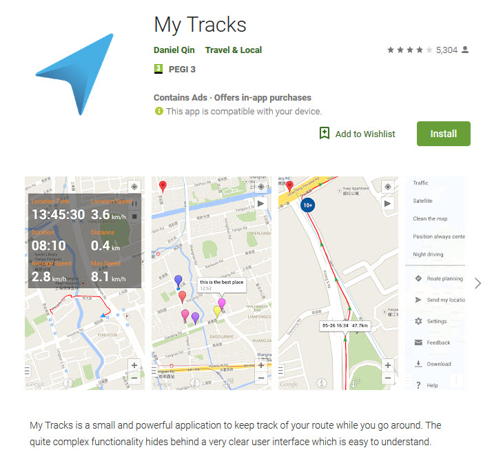
MyTracks, for Android

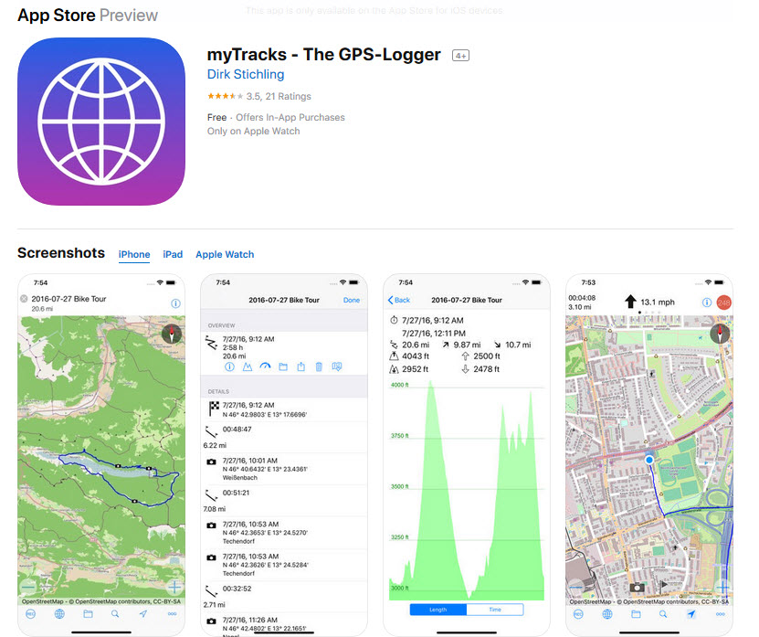
MyTracks for Apple (different publisher)

A collection of apps for tracking other people (e.g. kids)

Relive

A collection of apps for longer trips

Polarsteps for Android, and for iPhone.

Avenza is an mapp app which requires that you download maps to use offline – some free, need to explore — looks like an amazing map collection. You can search the database of maps online.

The David Rumsey Collection

I’ve known about the exciting David Rumsey Historical Map Collection for more than a decade, and have used it from time to time as a resource for research. The physical collection has more than 150,000 maps, mostly of North and South America, but also the rest of the world. About two thirds of the collection have been digitized and with this database are easily searchable.
The technology used includes LUNA software (by Luna Imaging in L.A.) for creation and processing, and Georeferencer software from the Swiss company Klokan Technologies. With this software, the transparency of the historical map can be adjusted to see the google-maps layer below. Fascinating!

Gerrymandering – the Line Dance

The 2020 U.S. Census controversy brings attention to many mapping issues, most importantly the recent U.S. Supreme Court ruling on Partisan Gerrymandering.  GIS Software is sometimes viewed as the guardian angel, abut more often the devil in the bizarre American governmental process of “redistricting”.  This occurs on a state-by-state basis after the completion of the census, which is held every 10 years, with the purpose of readjusting voting districts to take into account changes in population and demographics.  The idea is to improve representation, but the process has become deeply politicized.  This is a good, simplified explanation:  The Line Dance, by Chris Satullo, director of the Draw the Lines Project.  Along with the website providing a wealth of information, links and instructions for Pennsylvania’s version of DistrictBuilder open source map application, designed by Azavea, encourages the public to understand the redistricting process and submit their own maps which reflect their wishes.  Here is an excellent video tutorial.

Geospatial trends in 2019

Time to get up to speed again. In January, this article appeared in Geospatialworld. Review of terms:

  • EO = Earth Observation
  • LIDAR = Light Detection and Ranging (also, remote sensing)
  • AWS Ground Station = An Amazon service – “a fully managed service that lets you control satellite communications, downlink and process satellite data, and scale your satellite operations quickly, easily and cost-effectively without having to worry about building or managing your own ground station infrastructure.”
  • Geospatial (Geo) AI = Processing Big Geo Data – Machine learning with spatial component
  • BIM = Building Information Modeling
  • Smart Cities
  • Drones!