Driveway Decisions

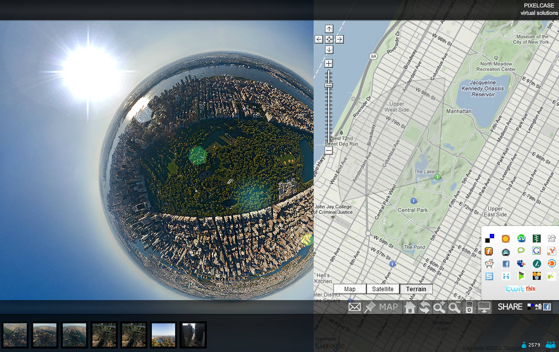
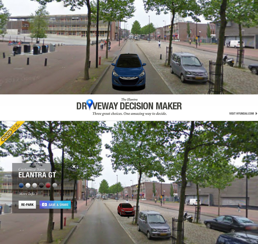
I parked this car (and changed its color) in my neighborhood, with the Driveway Decision Maker (Updatge 12/1/2019: No longer available.)This nice google maps hack was created by Hyundai marketing guys Innocean for an Elantra model launch. I learned about it, and another nice spot-the-VW map hack, on PSFK website. Wouldn’t it be cool if this advertisement/app were released for the general public, so you could pick a car you REALLY want.
Updatge 12/1/2019: PSFK site is now members only.

Nautical Overlay

This website from GeoGarage layers nautical maps geo-rectified to fit Google’s brand of Mercator. The slider control allows you to adjust the transparency. First you must acknowledge that you can’t trust these maps for actual navigation! They are designed for planning and analyzing. Nice little routing tool allows you to plot a course including distances, and export to a Garmin GPS devise. Seems like huge potential here.

Amsterdam Dutch Elm City

On the subject of trees, here’s another reason to love Amsterdam. A green city, it is. This interactive map is in development, along with others like this one showing green roofs. The inspiring collection is here.

TeleGeography Tells a Story

An interactive map of Submarine cables by Telegeography lets you explore the huge underwater infrastructure of communication cables. The first transatlantic cable laid in in 1858, and the rest is Wikipedia history. We tend to think ofsatellites and wireless communication as being dominant, but actually 99% of global Internet traffic depends on submarine cables. Telegeography made this maps by drawing routes and points with Adobe Illustrator, importing into Avenza’s MapPublisher, exporting to KML, creating Google Fusion tables, and publishing using the GoogleMaps API. (Here is their helpful explanation.)
Interactivity allows you to select and isolate cities, or cable systems to get more details. For example, this images shows the Atlantic Crossingcable which connects Beverwijk and Brooklyn. And this is the famous (and longest at 39,000 kms) system, the SeaMeWe system.

Ends of the Earth at MOCA

The current exhibition at MOCA (the Museum of Contemporary Art in Los Angeles, Ends of the Earth, Land Art to 1974, includes an interactive Google map which geo-locates the various works of some of the artists represented and documented at the exhibition. Over eighty artists and projects from United Kingdom, Japan, Israel, Iceland, Eastern and Northern Europe, as well as North and South Americas are included in the show. Clicking on an artist’s name zooms to the location and a pop-up window describes the work of art… like this one by Joseph Bueys in a Scottish moor in 1970.

Update 8/1/2019: The MOCA site no longer has the map, but here it is on Google Earth – however it appears you must view this with Chrome. Link to Landart in Google Maps.

Pixel Mania

Reminded by Google Maps Mania about this remarkable and entertaining website created in 2009 by Australia firm, Pixelcase. I saw it then, but it seems they have added a lot of new tours, and some new, cool controls, including the ability to view images in Normal, Fish-eye, Architectural, Stereographic and Planet views. It is great to see the images in all these different perspectives, clear as a bell. Check out this image of Central Park in Stereographic. Is that the sun?

Update 8/1/2019: It seems that in 10 years, the aerial tour is no longer available, and Pixelcase has morphed into an Augmented Realty (AR) company.  More on this some other time.

Biking in L.A.

Want to save time in L.A.? Ride from Griffith Point Observatory to Venice Beach in about an hour and a half. Or take the bus and get there in two hours, according to Google Maps bike directions. Seems to be considerable progress in Los Angeles, with the 2010 Bike Plan being rolled out and more routes added monthly. The LA DOT Bike Blog tells the story, at least the DOT version.

Cultural Heritage on a Map

The firm AB-C Media, based in Utrecht, works with Museums, Archives, and Cities to make their collections available to the public through interactive databases and map applications. A showcase of the possibilities can be seen with the richly detailed and interactive Amersfoort Map – Amersfoort op de Kaart In addition to Art Work, national and local monuments and archeology, the map has a number of prepared Walking Routes, like the one pictured left. From the detailed information windows, users can also leave comments, or look at the featured item in Google streetview. For Amerersfoort and other projects, the collection can also be viewed on a mobile application, erfgoed.mobi. All in all, a beautifully conceived site!

360 Panoramas on a Map

360Cities describes itself as “the web’s largest collection of stunning, geo-mapped panoramic photos, created by a network of thousands of expert panorama photographers from around the world.” The photos are all visible on their own website via a Google Map, and since November 2010 approved exterior photos have been included as a photo layer on Google Earth. This is fascinating concept which could also be applied on a local (neighborhood) level to create a nice 3-D tour.

Clever Dutch Startup – Shoudio

At PICNIC for a few hours, saw this great location-based start-up, Shoudio, in the “Marketpace” tent.  The web interface is nice, but I could imagine improvements in searching, tagging and filtering.  The iPhone app is slick, though not yet put to the test (by me).  Seems like great potential here. You can record and share sounds through Facebook, Twitter, Foursquare, and there is also content from aggrigators such as soundaroundyou and soundseeker and probably more.  With an open API this can be used by developers to make customized audio crowd-sourcing applications.   City, bike, and architecture tours come to mind.  Photo can be uploaded with audio.  Something for birders?