360 Panoramas on a Map
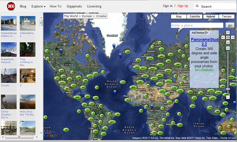 360Cities describes itself as “the web’s largest collection of stunning, geo-mapped panoramic photos, created by a network of thousands of expert panorama photographers from around the world.” The photos are all visible on their own website via a Google Map, and since November 2010 approved exterior photos have been included as a photo layer on Google Earth. This is fascinating concept which could also be applied on a local (neighborhood) level to create a nice 3-D tour.