Cultural Heritage on a Map
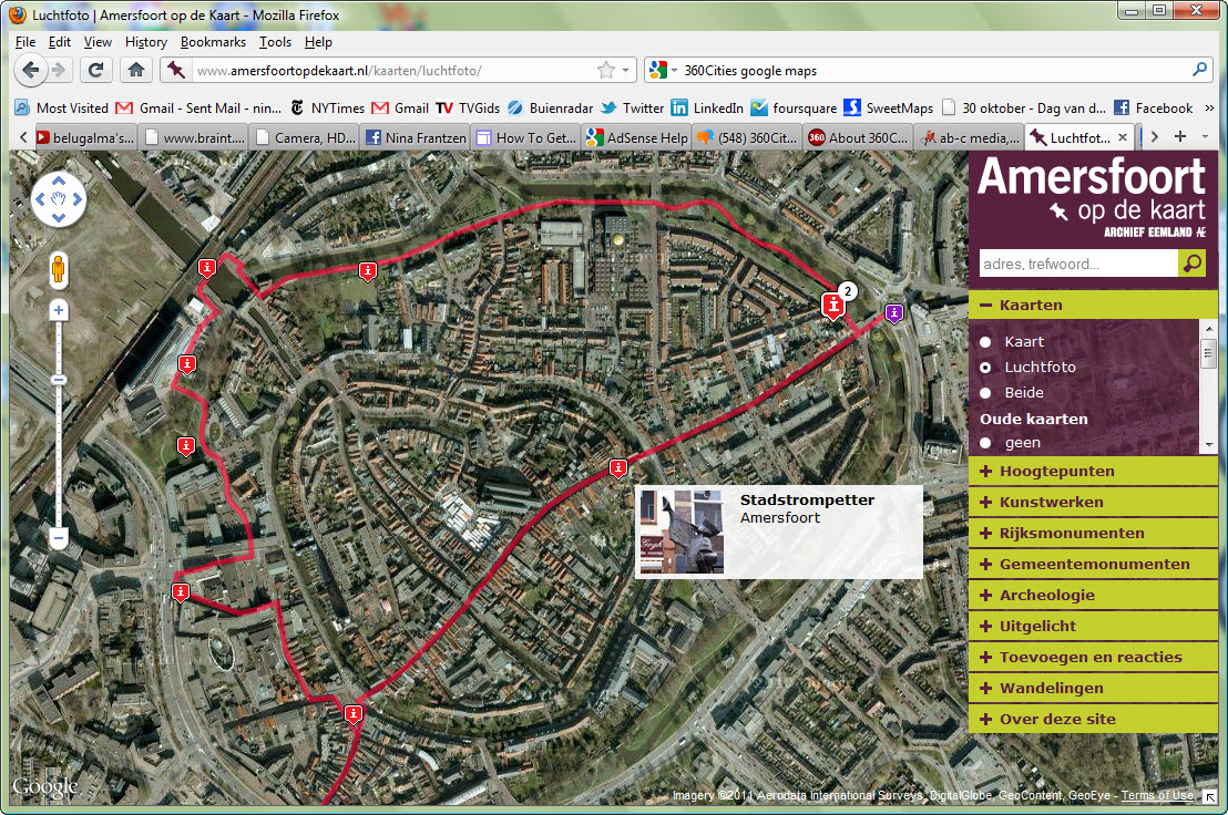 The firm AB-C Media, based in Utrecht, works with Museums, Archives, and Cities to make their collections available to the public through interactive databases and map applications. A showcase of the possibilities can be seen with the richly detailed and interactive Amersfoort Map – Amersfoort op de Kaart In addition to Art Work, national and local monuments and archeology, the map has a number of prepared Walking Routes, like the one pictured left. From the detailed information windows, users can also leave comments, or look at the featured item in Google streetview. For Amerersfoort and other projects, the collection can also be viewed on a mobile application, erfgoed.mobi. All in all, a beautifully conceived site!