Live Hurricane and Weather Tools from GEB
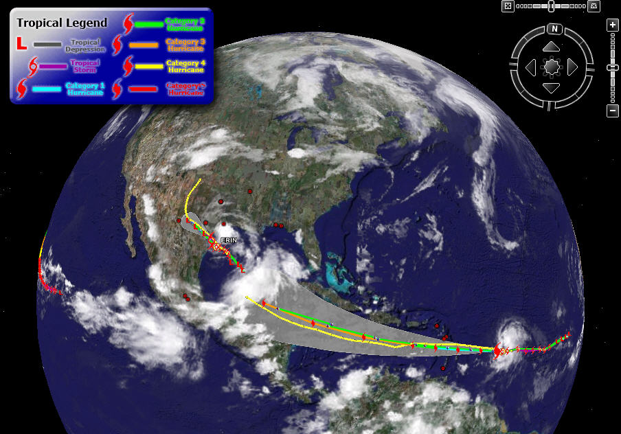 Storm Tracking Google Earth Blog has posted an amazing collection (a “network link”) of weather tools from a variety of sources. This is a wonderful assembly by various authors, including live weather images, and animated projections of hurricanes. GEB has organized them in a way which is very easy to use, and the layers only turn on when you select them (unlike may other kmz files which load automatically), so it does not surprise you by taking a lot of time or computer memory. Drag and drop from their site did not work for me, but the KMZ file can be downloaded or opened from here. The blog article also explains the value of “network links” in Google Earth.
Update 31-5-2018: Many of the links here seem no longer useful. No doubt there are many new sites and apps for hurricane tracking. Google has their own highly-rated Android app, Seastorm.
Leave a Reply
Want to join the discussion?Feel free to contribute!